


Woodenbong
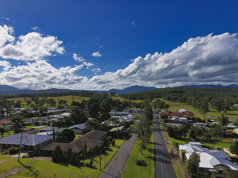
Woodenbong is largely a timber and cattle town situated approximately 10 km from the Qld/NSW border. Located approximately 55km NW of Kyogle Woodenbong is a community of about 600 people, which offers lifestyle and friendship. Some of the most spectacular volcanic plugs and rocky outcrops including Mt Lindesay will welcome your arrival.
Come and embark on a journey of discovery that leaves lasting memories of wonderful experiences. Woodenbong is environment, culture and village life.
Woodenbong has a golf club, swimming pool, tennis, scenic drives and many more leisure and recreational activities. Woodenbong Hotel offers meals and comfortable accommodation and the Woodenbong Driveway offers 24 hour fuel, newsagency and stationery supplies. The Woodenbong Camping Grounds welcome caravans, motorhomes and tents and offers a free dump point.
For more information about Woodenbong, including things to see and do in Woodenbong, go to woodenbong.org
Some History about Woodenbong
The Woodenbong region showcases a unique natural environment with remnants of activity associated with the Focal Peak Volcano, active 24 million years ago. The MacPherson Range boasts Mount Barney and the complex of surrounding peaks which are the underground roots of this large shield volcano. Mount Gillies, Mount Lindesay and Mount Glennie represent lavas erupted from the volcano. The prominent cliffs of Mount Lindesay, and of Mount Glennie are remnants of horizontal rhyolite lava which have subsequently been isolated by erosion.
The Githabul Aboriginal people are the original inhabitants of the area and much of their cultural legacy remain today and the language is being taught in the local school. The first European record of the MacPherson Ranges was by Logan, Fraser and Cunningham, who saw the rugged mountainous area from Mount Barney’s peak in 1828. Francis Roberts, a surveyor marking the border between New South Wales and Queensland, and his assistant Isaiah Rowland, were the first Europeans to traverse the area.
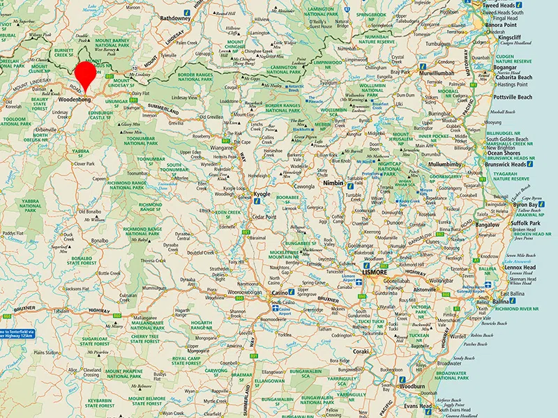
Woodenbong, officially declared a village in 1908 is rich in natural and cultural history and is located in the shadow of Mt Lindesay standing proudly at 1280 metres above sea level in the MacPherson Ranges/Border Ranges of Northern NSW, 10 km south of the NSW/Queensland state border. It is situated at the north western border of the Kyogle Local Government Area at the edge of the Tenterfield Shire. Woodenbong is 59 km from Kyogle and 143 km from Brisbane or the Gold Coast.
On a map Woodenbong looks like it is isolated, but in reality it is reasonably close to several major centres, including shopping and agricultural links to Warwick, Killarney and Beaudesert.
The area used timber as its main source of employment in the early years and dairy, cattle and crops soon followed. Since then the village has seen many changes and is now a delightfully hospitable place to reside and visit. Modern times attract many bike riders, both road and trail bike riders, firstly due to the inspiring mountain roads to travel and welcoming hospitality and secondly the signature event of the Australian Dirt Bike Adventures being held twice a year in Woodenbong over the past several years.
Information from woodenbong.org
Woodenbong Real Estate
The PRD Northern Rivers team has been actively selling homes and rural properties in Woodenbong and Urbenville. If you are looking to buy in Woodenbong, or would like to know what your property in Woodenbong is worth. Contact us via the form below.